Itineraries
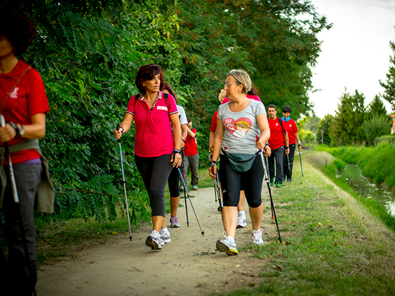
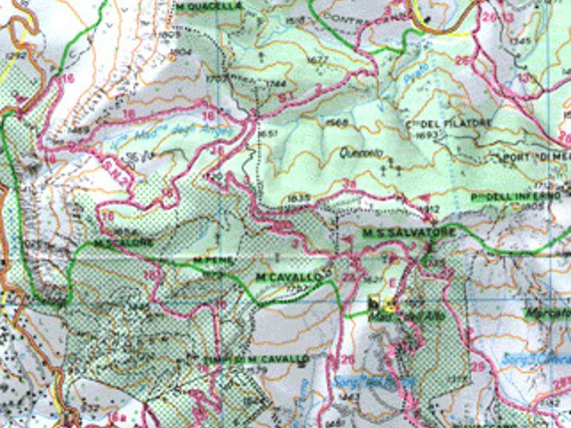
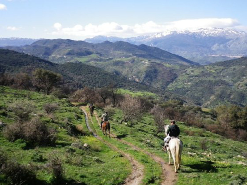
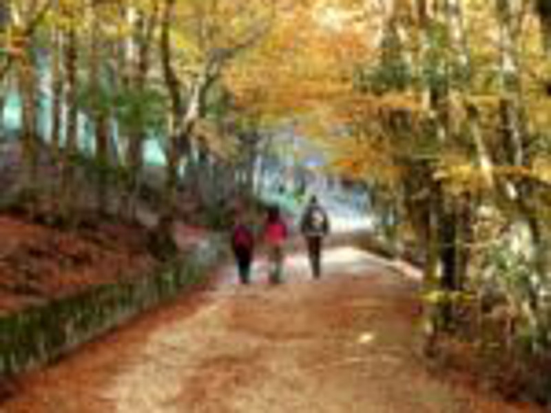
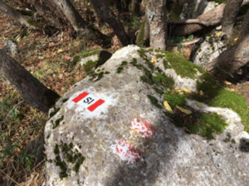
Trails and Horse Trails
For each trail, we are going to provide you information on the distance, walking time, altitude, and the main observation points.
Further Itineraries
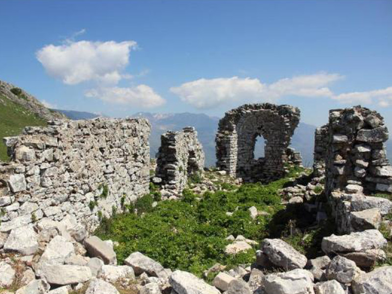
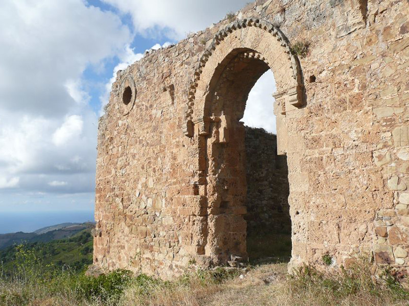
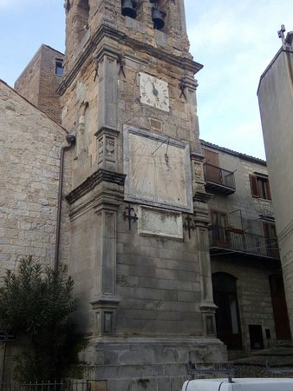
South Madonie Itinerary
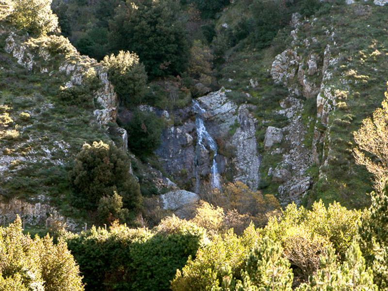
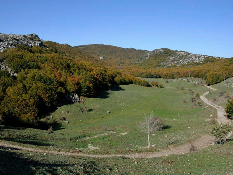
Since it develops on the southern and central-southern slope of Madonie mountain system and it crosses extremely diversified territories, this first route gives the possibility to have an overall view of the different environments characterizing the whole Park area. The hikes and walks suggested along the route are further instruments to learn more about this part of the Park.
The whole itinerary, excluding hikes, develops for 128.2 km, if you want to end at the departure point (junction in Scillato of A 19), or for 149.6 km if you decide to go ahead until you reach the road SS 113. You should stay in the area for 3-5 days.
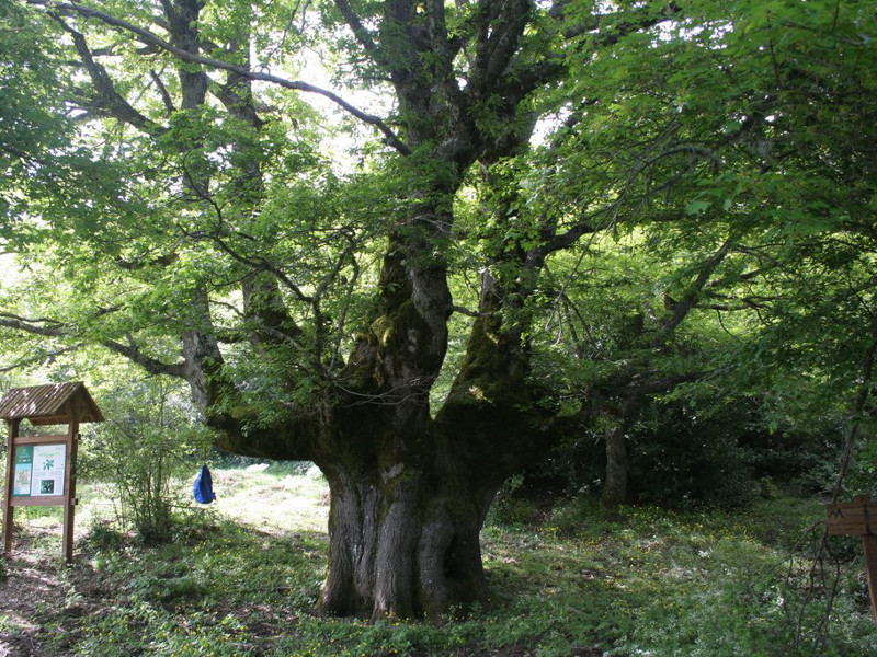
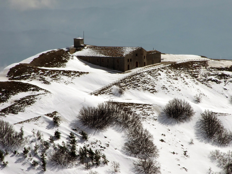
Central Madonie Itinerary
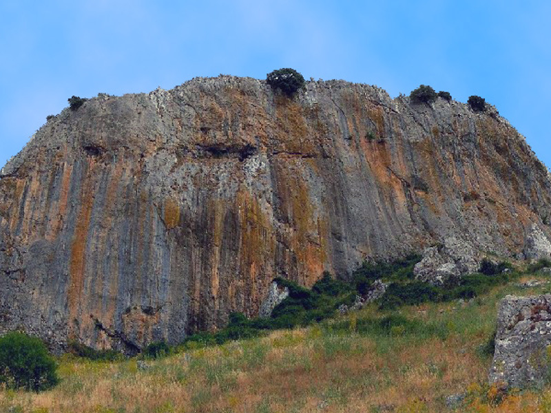
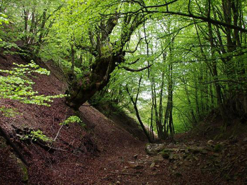
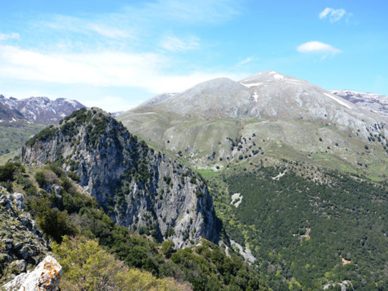
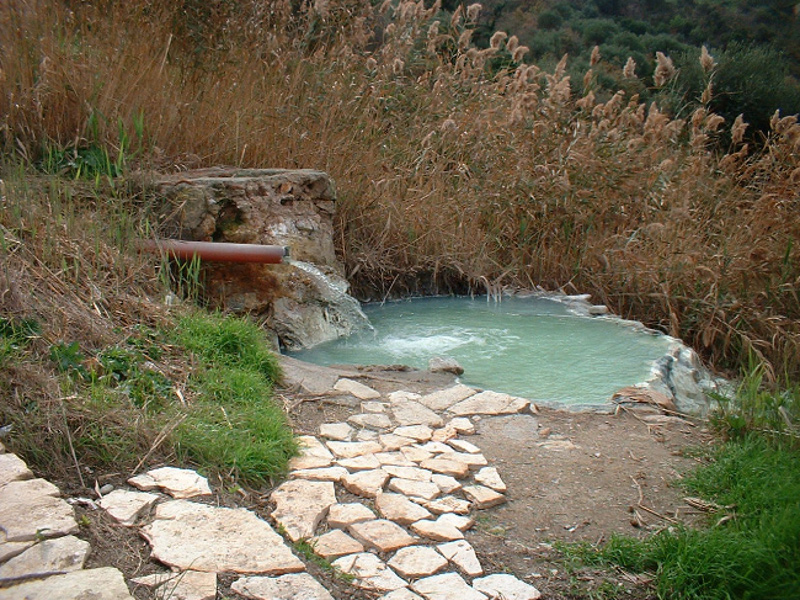
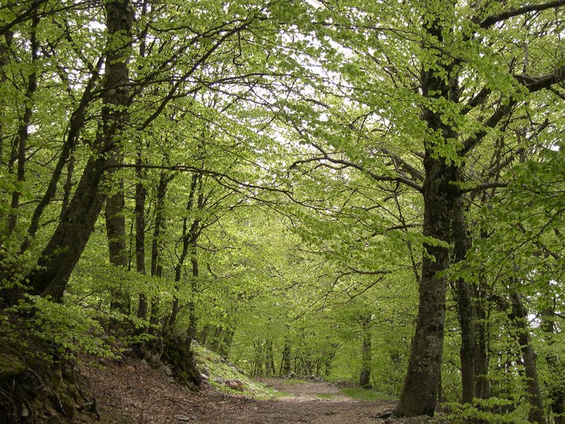
By going around the central massif of Madonie - but also entering it up to the axis Petralie-Piano Battaglia-Collesano - this ring-route, beginning and ending along the road SS 113, at sea level, is a real mixture of variegated and extraordinary realities of the protected area. Wide sea landscapes - with the coast between Palermo and Cefalù, Ustica and Aeolian Islands - wonderful towns, impenetrable oak and beech forests, high and inaccessible summits, environments of considerable scientific interest come one after the other along this itinerary without continuity, offering great nature representations - sometimes completely wild and uncontaminated - and the view of districts and towns, suburban villas and farmsteads, mills and markets: important and representative elements of the built-up landscape.
Further informationNorth Madonie Itinerary
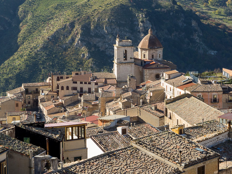
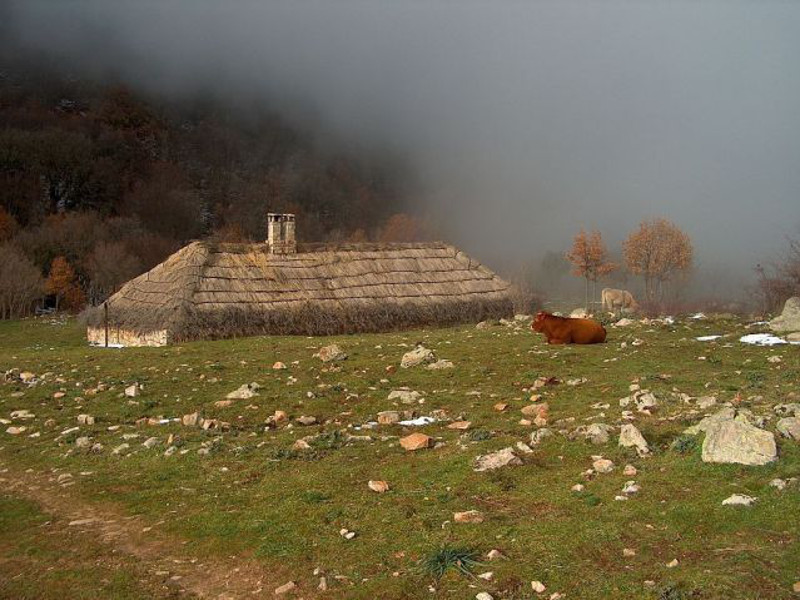
This itinerary involves the northern slope of the protected area - the one sloping down to the Tyrrhenian Sea - and develops in a sort of quadrilateral whose vertex in the north-east is represented by the town of Pollina, in the south-east by San Mauro Castelverde, in the south-west by Gratteri, in the north-west by Cefalù, including also the small towns of Castelbuono and Isnello.
Further informationCAI Italy Hiking Trail